7-day free trial · from $29.99 per seat, every plan covers all six states · cancel anytime · See all plans
WYOMING
MONTANA
N. DAKOTA
COLORADO
NEW MEXICO
UTAH
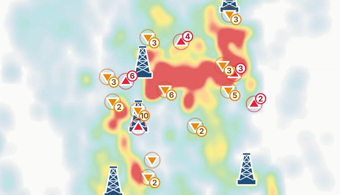
PRODUCTION HEAT MAPS — BY OPERATOR OR FORMATION
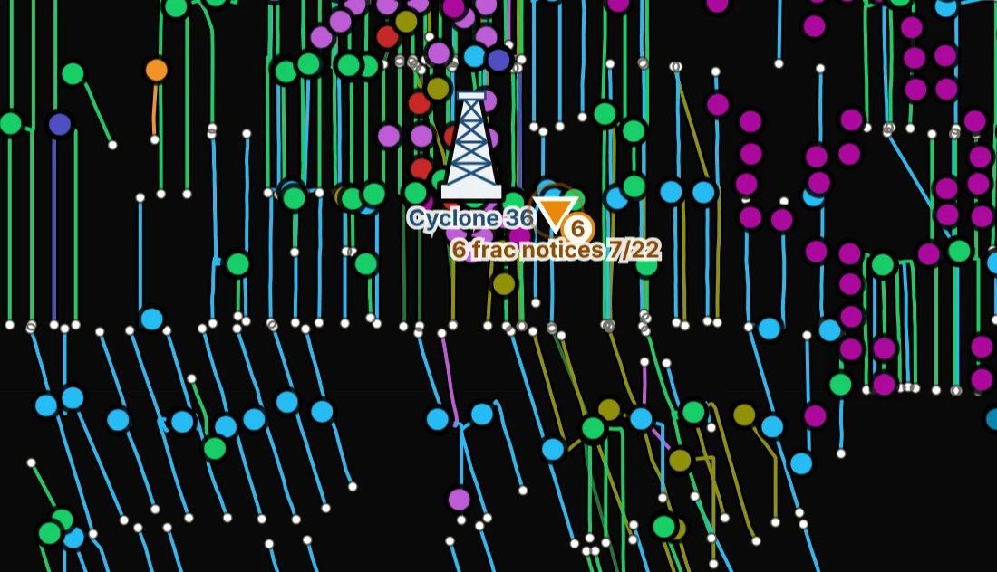
DARK MAP — WELLS BY FORMATION
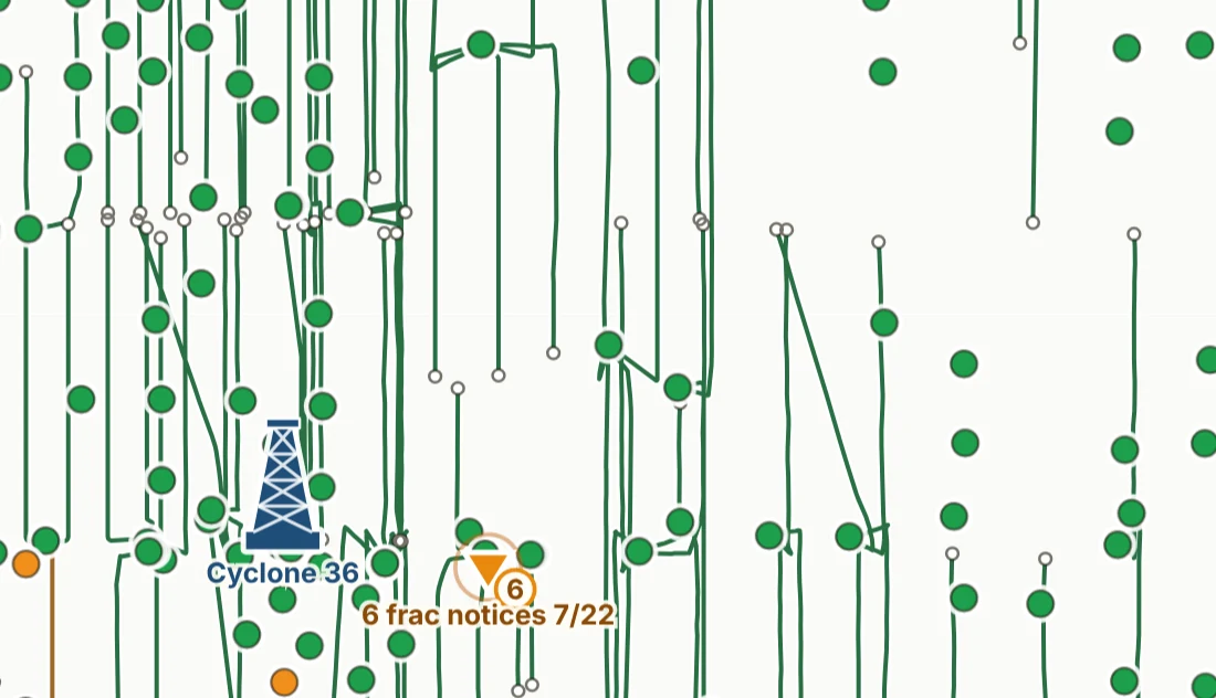
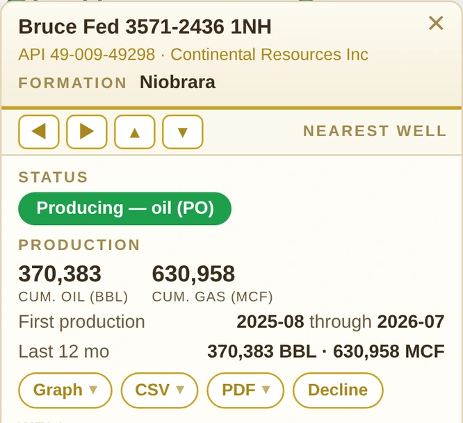
EVERY WELL — STATUS & PRODUCTION
521,058
WELLS
6
STATES
1
LOGIN
1
PRICE
THREE RECORDS · ONE MAP
Three records that never met — until now.
State regulators, federal regulators, your own information and tracking — in one place: oilstats.us.
State — regulator records: wells, production, status, spuds, permits, spacing orders, state leases
Federal — BLM & PLSS: federal minerals, federal leases, units, PAs, CAs
Your documents — deeds, mineral leases, SUAs & easements, royalty stubs, 1099s
Know a well before you ask about it
Production heat, operator coloring, GPS field location, and a decline trend on every well you click — in all six states.
See it coming, not in the mail
Recent spuds, rig tracker, DSU approvals, and federal unit legals — the activity around your acreage, as it happens.
$
Priced for the West, not Houston
One $29.99 seat unlocks every state — the lookups owners, operators and landmen actually use, without the data-terminal contract.
Your surface, priced and mapped
Surface use agreements, pipeline and road easements: the $ per rod and $ per acre, the lands and the as-built on the map, the wells tied to each, and what’s due — read off the paper you upload.
MAPPING IS AN UPLOAD, NOT A PROJECT
Drop the document. It’s on the map in about a minute.
No legal descriptions to key in, no shapefiles, no GIS. A photo or a PDF of the recorded paper is enough — the app reads it, draws it, and hands the fields back to you to check.
1
Upload the paper
A mineral or surface deed, an oil & gas lease, a surface use agreement, a pipeline or road easement, or the survey plat that came with it — PDF, scan or a phone photo. Drag it onto the tab and the reading starts by itself.
2
It reads, usually under a minute
The legal description, your fraction, the royalty, the primary term, the $ per rod and $ per acre, whether the minerals were reserved — and every coordinate on a plat. Each field comes back editable, flagged where the page was hard to read.
3
It’s on the map
Your tracts drawn on the sections beside every well, your leases against the BLM and State tracts, and an SUA’s pads, roads and pipelines as real shapes — measured, priced at the agreement’s rates, and tied to the wells that use them. Typing a description in by hand still works too.
Every reading is a proposal for you to review, not a title opinion — nothing lands in your records until you say so. Uploads go to the reader and come straight back; the file itself is never kept.
PRICING
Three plans. All six states.
Every plan covers Wyoming, Montana, North Dakota, Colorado, New Mexico and Utah — you pick the toolkit, not the territory. Owner/Operator is priced by the seat — $29.99 each, one or a whole crew, no minimum. 7-day free trial on every plan, cancel anytime.
Register the whole crew.Owner/Operator is priced by the seat — $29.99 each, no minimum. Pick the number of seats when you sign up, add or drop them any time, each seat its own login, and annual billing takes 20% off every one. Owner+ and Professional are one subscription each.
Full feature-by-feature comparison and the automatic readers in detail: see the plans page →
FREE TO BROWSE
Explore six states of oil & gas by county
Well counts, operators, fields, last-twelve-month production and recent drilling for every county in all six states, from the same WOGCC, MBOGC, NDIC, ECMC, NM OCD and Utah DOGM files that power the map. See this week's spuds →
 WYOMING

 COLORADO
 NEW MEXICO
 UTAH
UTAH